Professional Land Surveying Services since 2016
Contact Us
Our Services
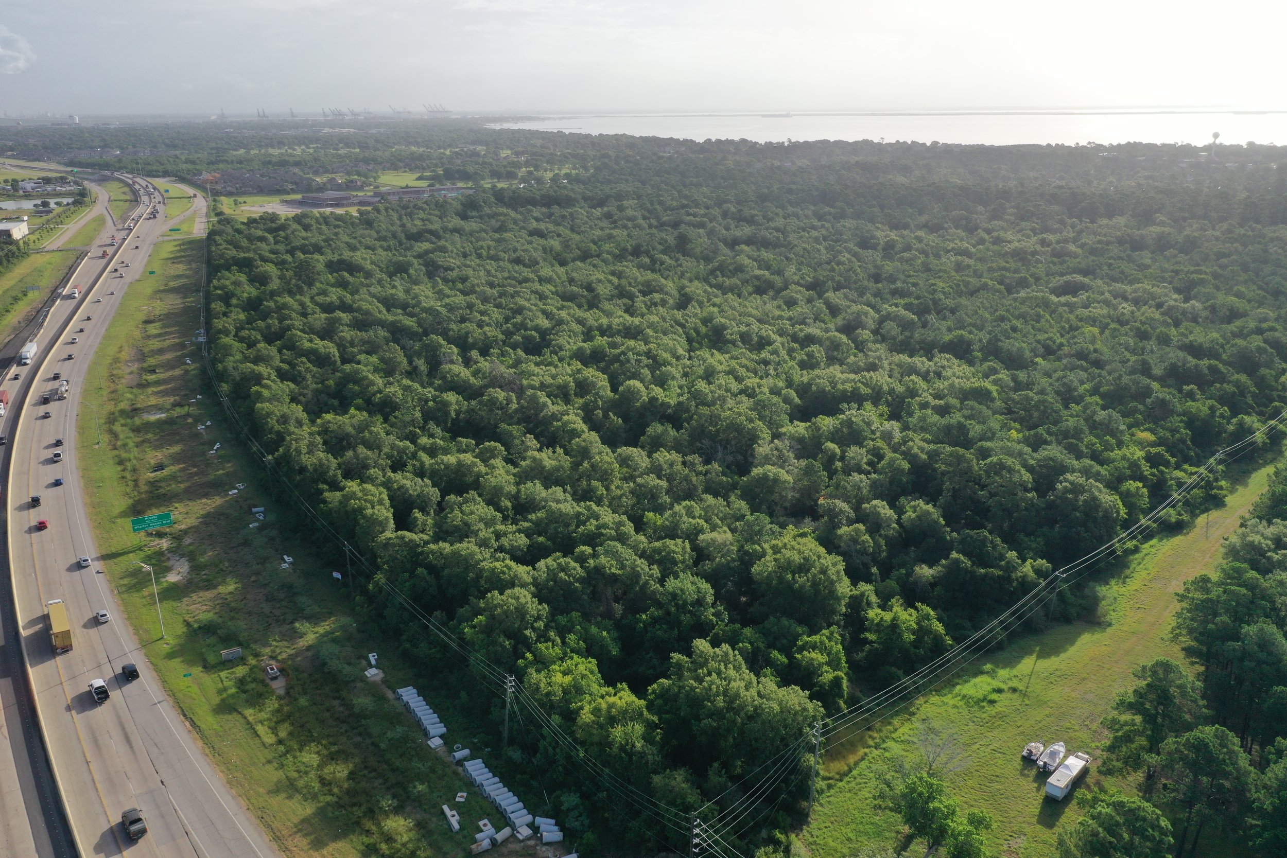
Land Development
Land Development
Subdivision Layout
Form Board Surveys

Boundary / Title
Boundary / Title
Title Surveys
Boundary Location
ALTA/NSPS Land Title Survey
Easement Plats
Metes and Bounds
Corner/Line Staking
Lot and Block Surveys
Drone Services
Drone Services
LIDAR
Photogrammetry
Real Estate Photography
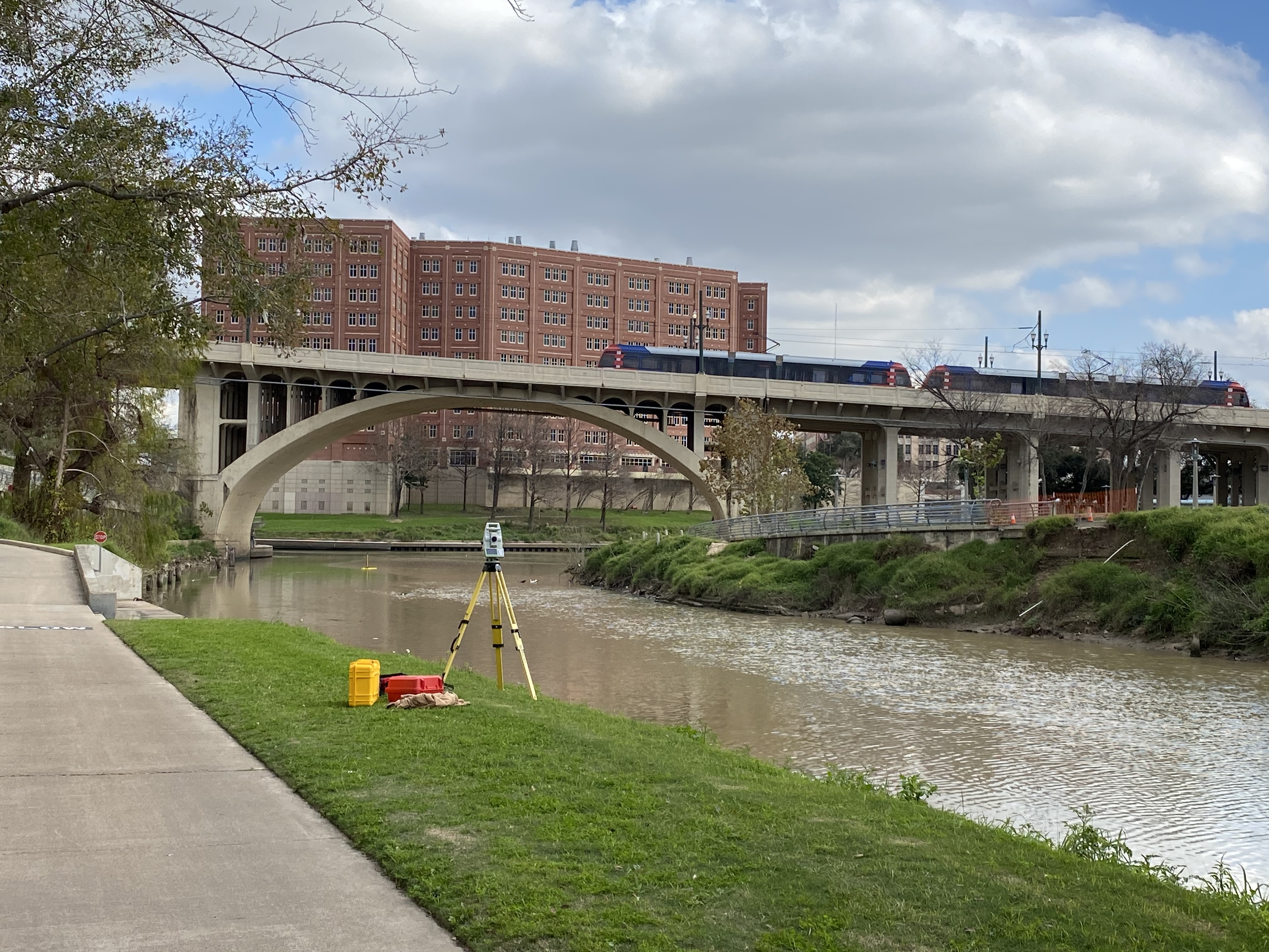
Topographic
Digital Elevation Models
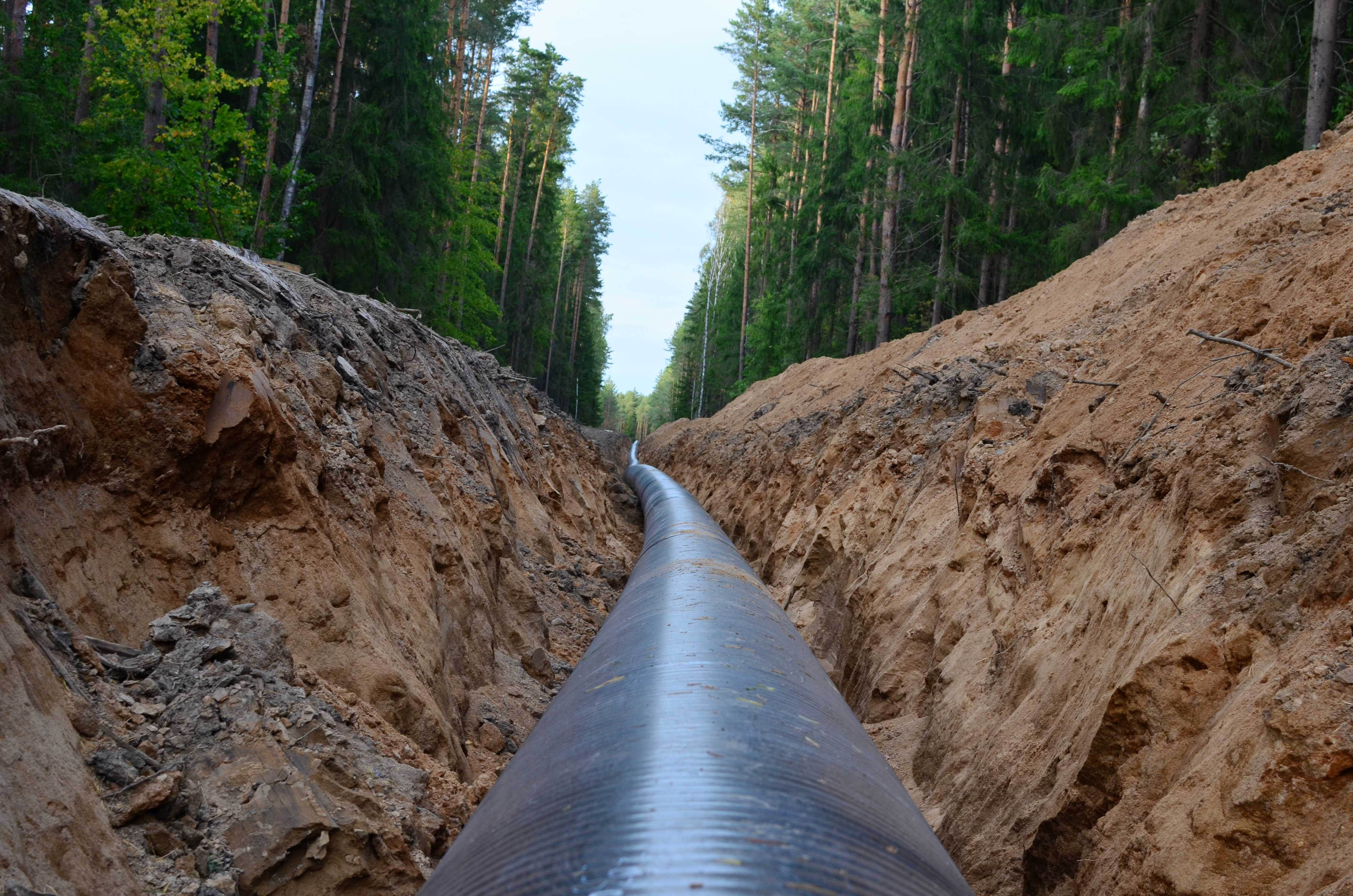
Oil & Gas
Oil & Gas
Well Permit Plats
Surface Use Exhibits
As-Drilled Plats
Unit Plats
Pipeline Route Surveying
Well Pads
Lease Roads
Surface Site Exhibits
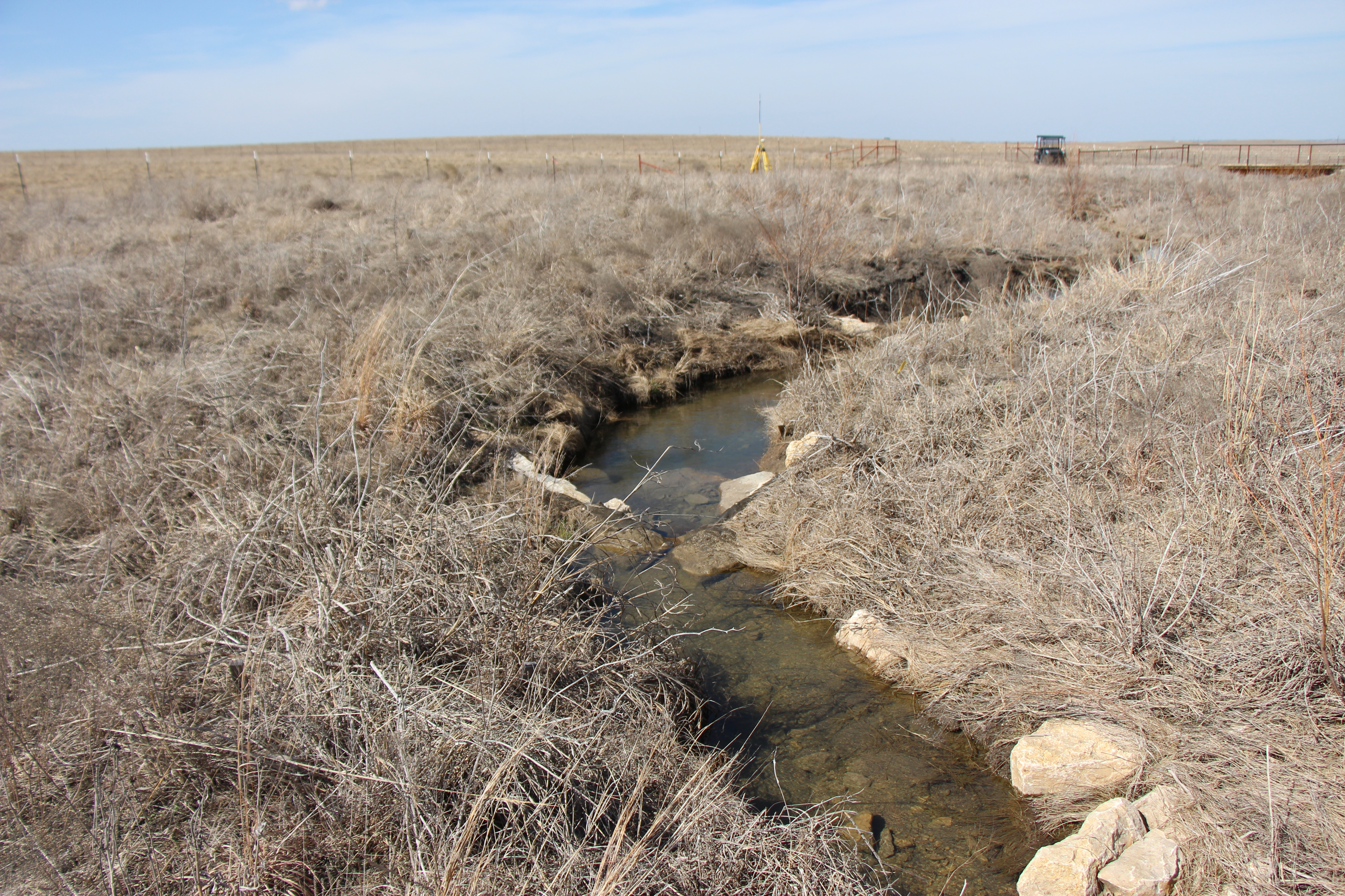
Environmental
Environmental
Mitigation Bank Easements
Conservation Easements
Stream Topos for Design
As Constructed Stream Topos
Vegetation Survey Plats
Cross Section Monitoring
Reference Reach
As Built Plan & Profile Sheets
Stream Design Contruction Staking
Bathymetric
Bathymetric
Channel Cross Sections
Pond/Lake Floor Mapping
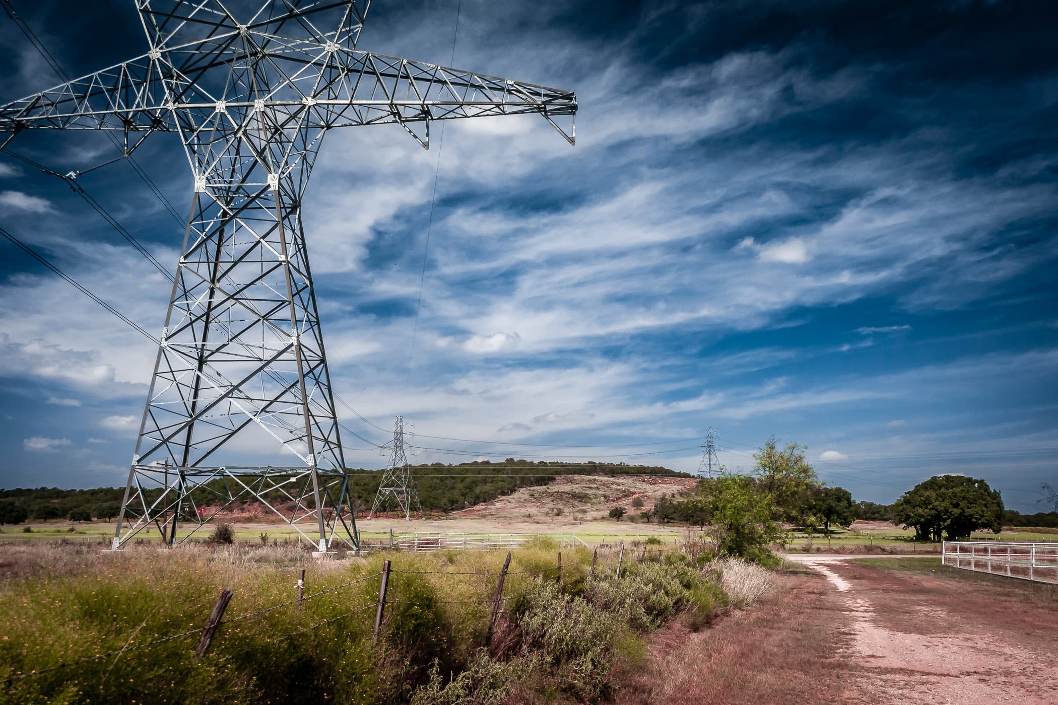
Route Surveying Services
Route Surveying Services
Pipelines & Utilities
Underground & Overhead
Highway Permit Plats
Railroad Permit Plats
Right of Way Acquisition Plats
Alignment Sheets
River & Creek Crossings

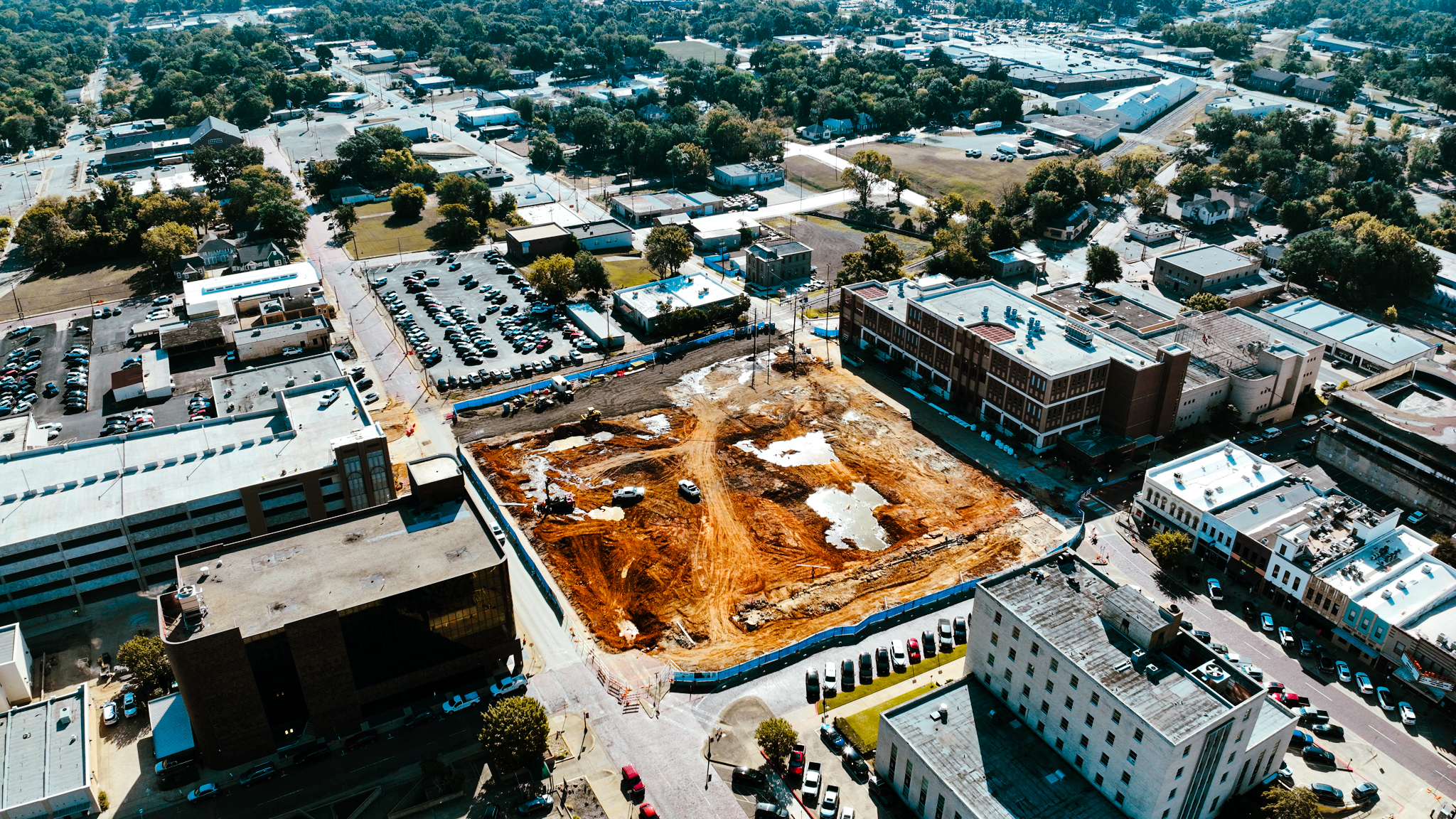
Construction
Construction
Single-Family
Multi-Family
Commerical
Industrial
As-Builts
Pipeline & Utility Staking
Water Line Staking
Sewer Staking
Storm Sewer Staking
Curb/Gutter Staking
Pavement Staking
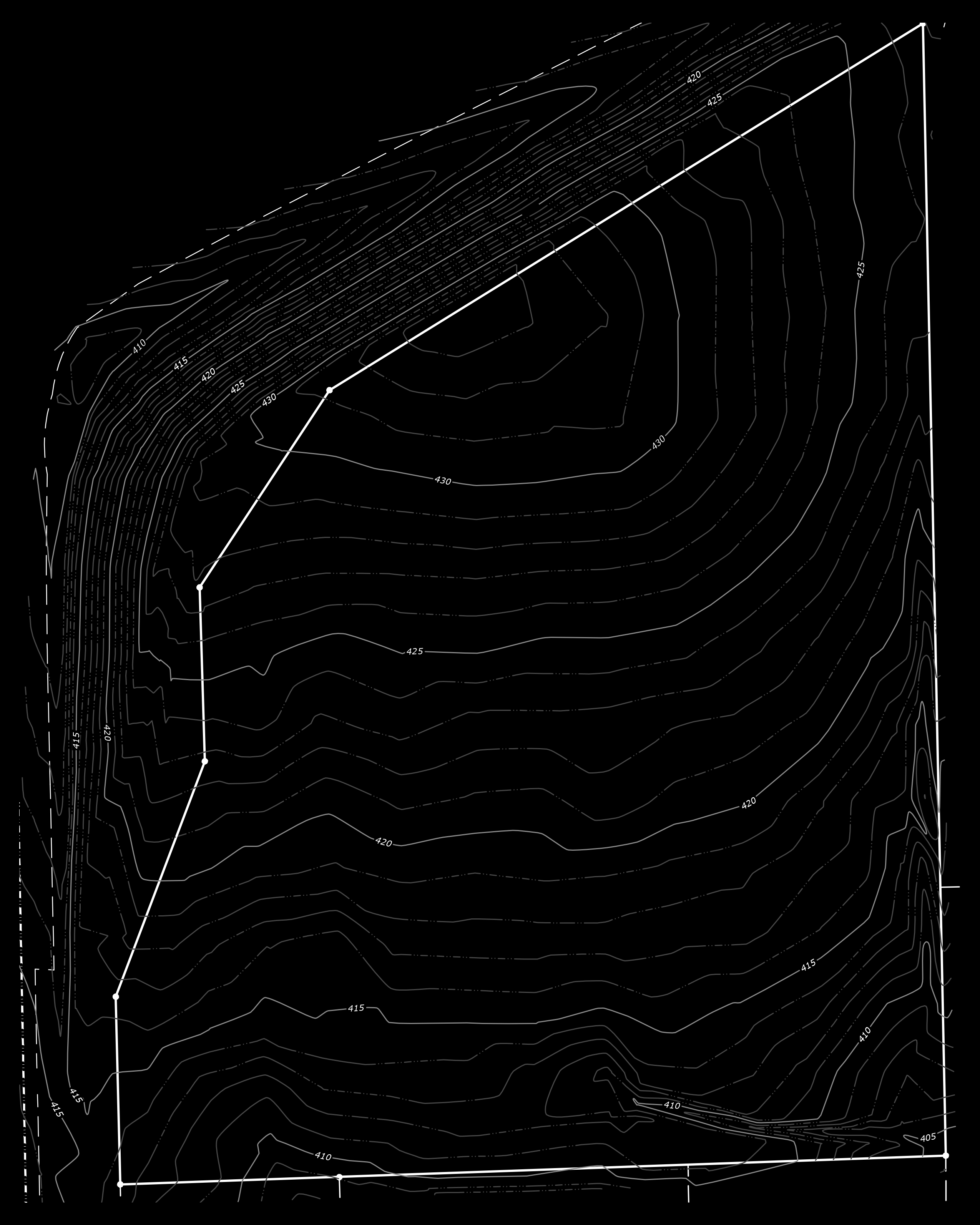
Topographic
Topographic
Surface Features
Terrain
Elevations
Contour Lines
Utilities
Natural Attributes